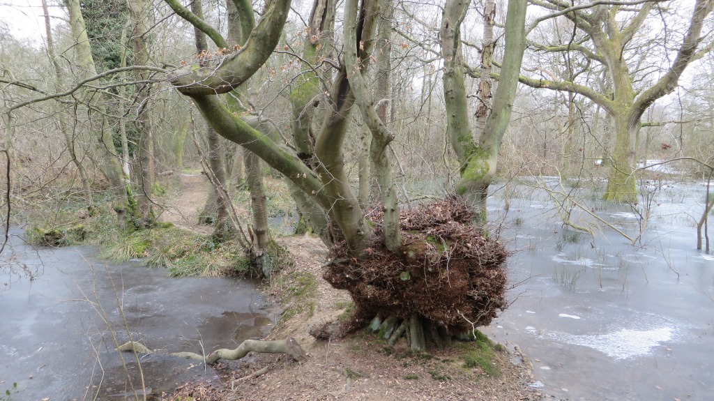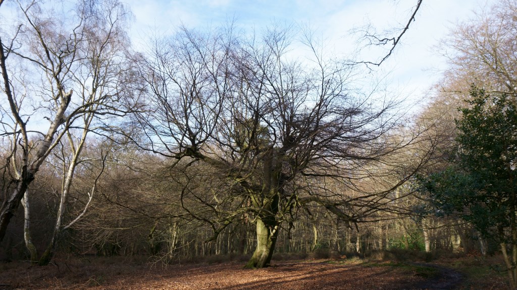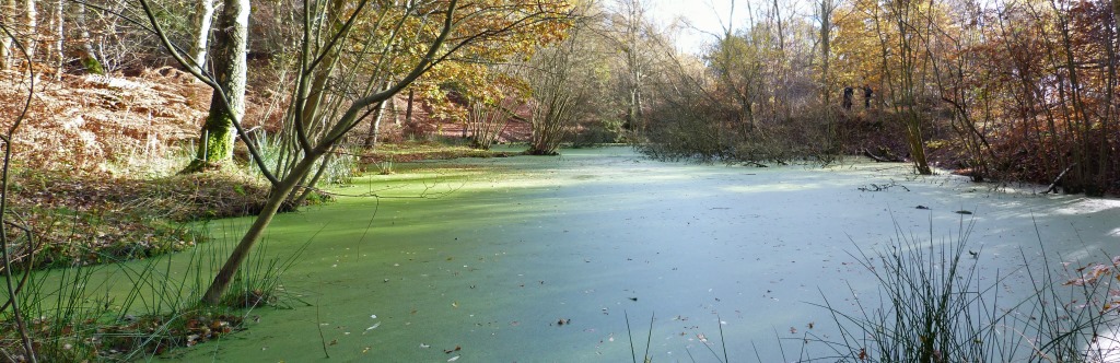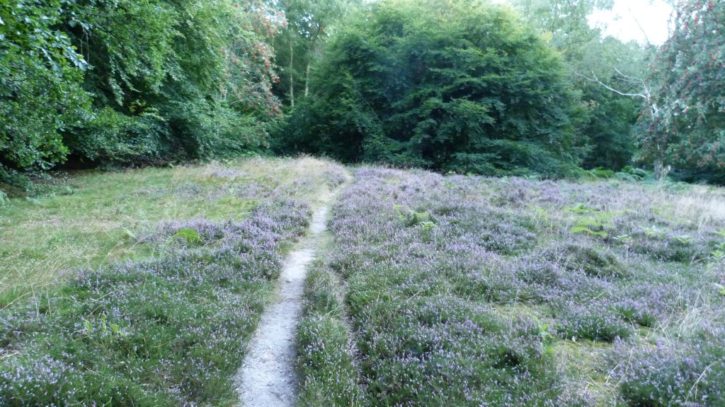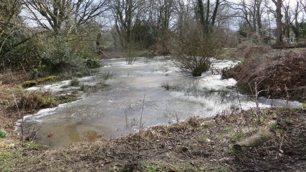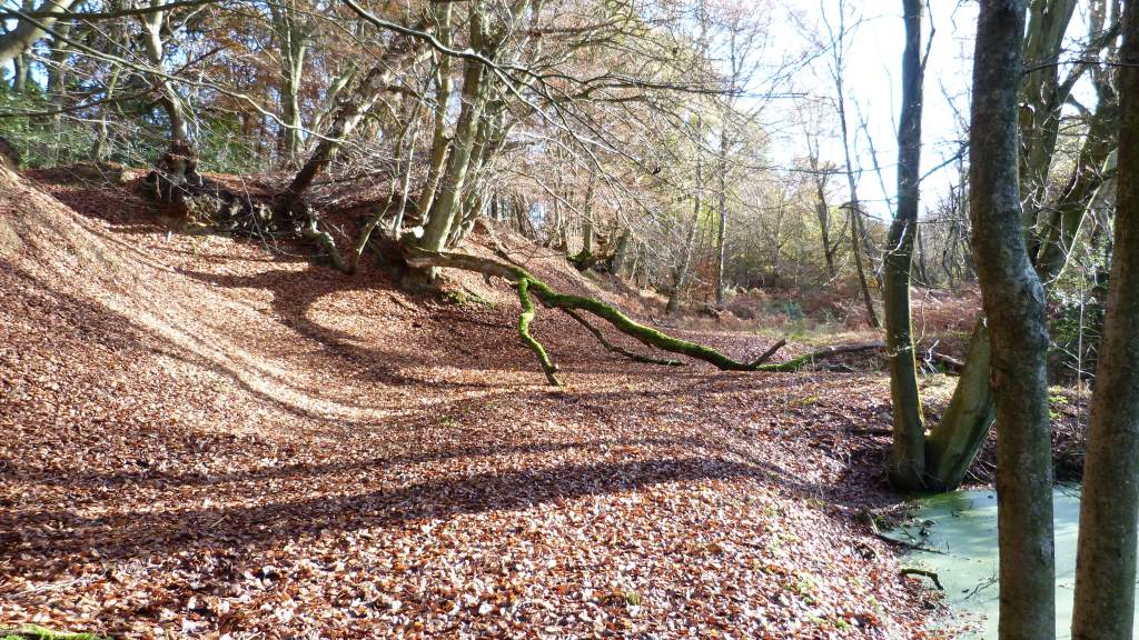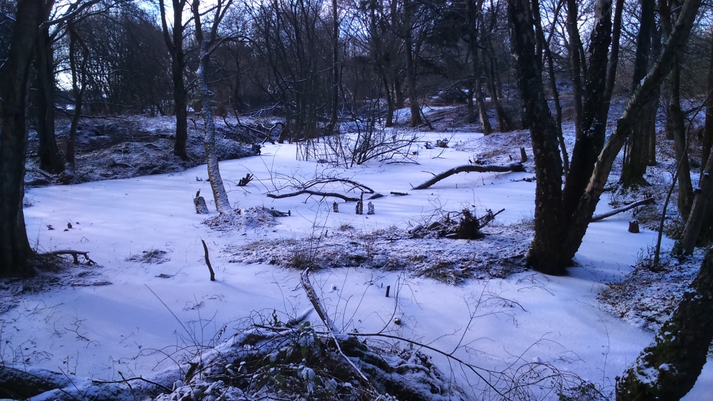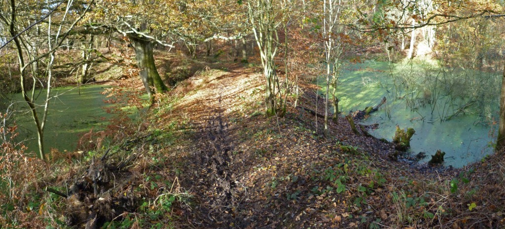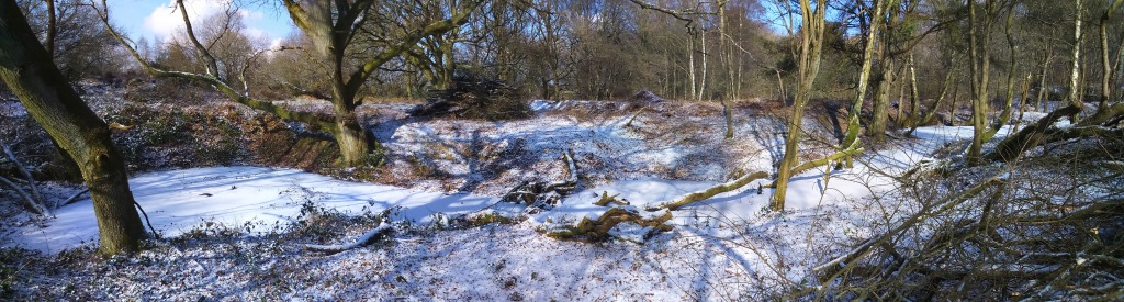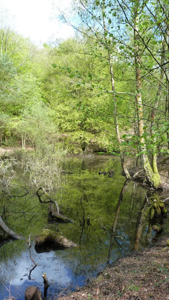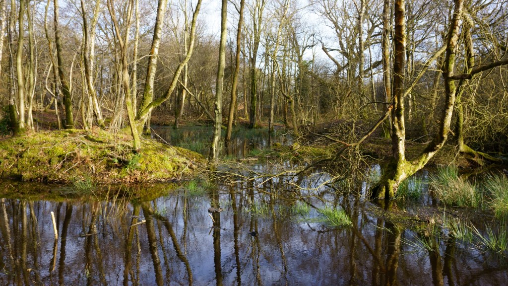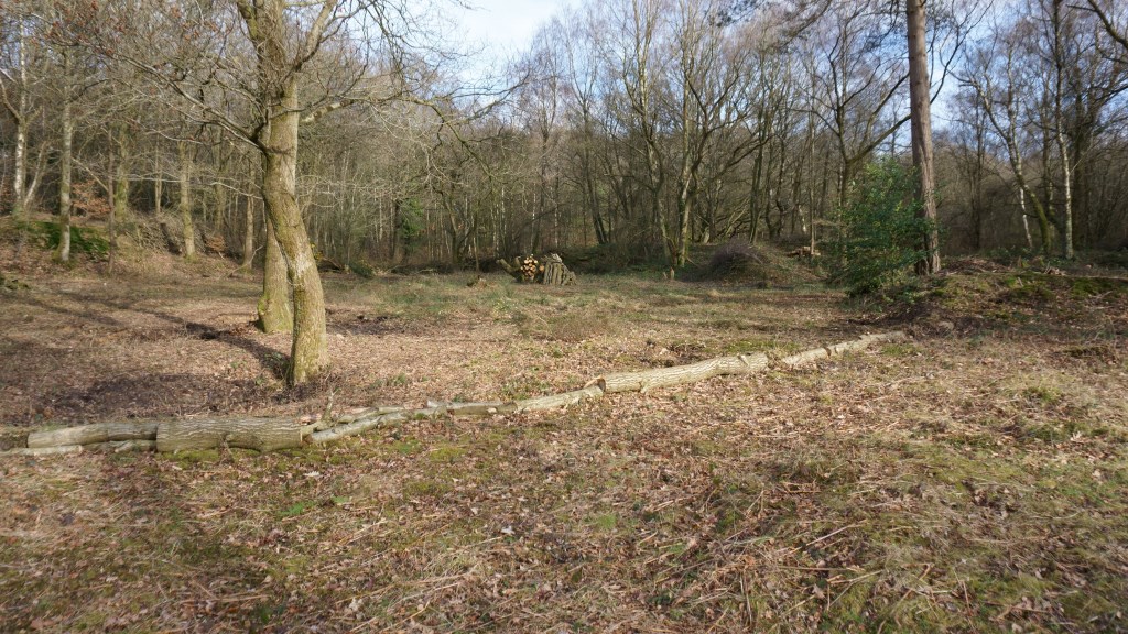
Nettlebed Common is a mixture of woods, heath and open grassland which runs on both sides of the B481 from near Park Corner in a South Easterly direction towards Nettlebed village. It surrounds Windmill Hill and includes Nettlebed recreation ground which was given to the village by Robert Fleming in 1913. Much of the land below Windmill Hill and towards the village was the centre of the brick making industry from early times until the 1920’s and the woodlands there established themselves since that time. Priest Hill is a geological site of special scientific interest where exposures of Pleistocene era organic silts which have not been observed anywhere else in the British Isles and are of international significance. A paper written on the Priest Hill SSSI can be read here. To the south of the village it includes the open green in front of the old kiln and the A4130 crosses the common at this point. It continues southwards from Catslip and again follows the B481 becoming Lower Common Wood, Oxlands Bottom, across Highmoor Trench and finally Highmoor Common Wood. Hidden in the triangle between the A4130 and B481 is a sewage works, which was built by US Army engineers during World War 2 where there was a large camp for 2,000 soldiers. The camp was later taken over and used by European refugees and was demolished in the late 1940’s. A small monument remains by the roadside. The village of Nettlebed with Crocker End was later connected to the sewage treatment works. Whilst nearly all the common land around Nettlebed is owned by the Nettlebed Estate it should be noted that Crocker End Green is neither owned by the Estate nor indeed covered by the 1906 Act. A very small strip on the south side of the A4130 is also common land. This extends from the beginning of Lower Common Wood to the end of Offal Wood.